Step 02
Water, road, and the site work already paid for
The two questions that decide every mountain land deal are whether water is reachable and whether a truck can get to the pad. Both have real data behind them here.
Water
Two exploratory holes were drilled and logged on the property, giving depth data instead of guesswork. Soda Creek — annual flowing mountain runoff — passes roughly 50 yards north-west of the north boundary, and a USGS StreamStats hydrology report for the drainage is included in the document room.
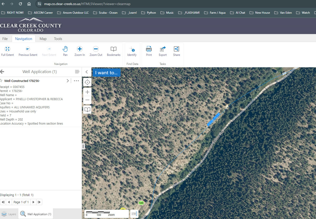
Test hole 1
202 ft
Depth-to-water data logged on site during exploratory drilling.
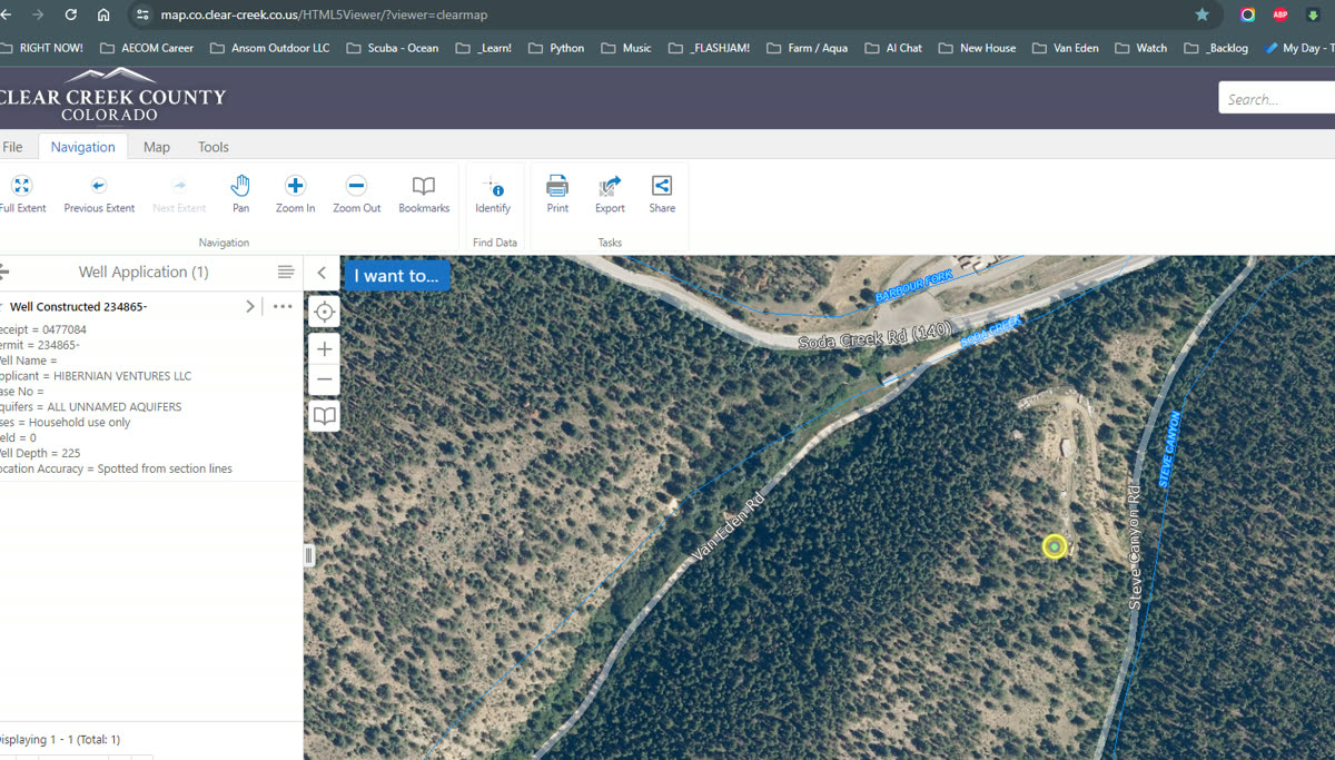
Test hole 2
221 ft
Second hole logged to compare yield and depth across the bench.
Colorado well and surface-water use is governed by the Division of Water Resources. Any domestic well requires its own permit, and a creek near the boundary does not by itself convey a right to divert. Confirm permitting and any water rights with the state and your own counsel before relying on this data.
Access & site work
Roughly 80% of the driveway is built
The mountain access road is cut and largely usable, which is the single most expensive and most permit-sensitive part of developing steep Colorado ground.
Engineered civil drawings in hand
Van Eden Road civil construction drawings cover grade, drainage, and cross sections — the sheets a county reviewer and a grading contractor both want to see.
County detail sheets included
Clear Creek County standard details referenced by the drawing set are part of the document room, so a builder can price the remaining work directly.
Power and septic still ahead
Treat this as an off-grid-ready site: well, septic (OWTS), and power service are not installed. Budget them, and confirm feasibility with the county before closing.
Next: what can be built, and what's drawn already.
Plans & vision →